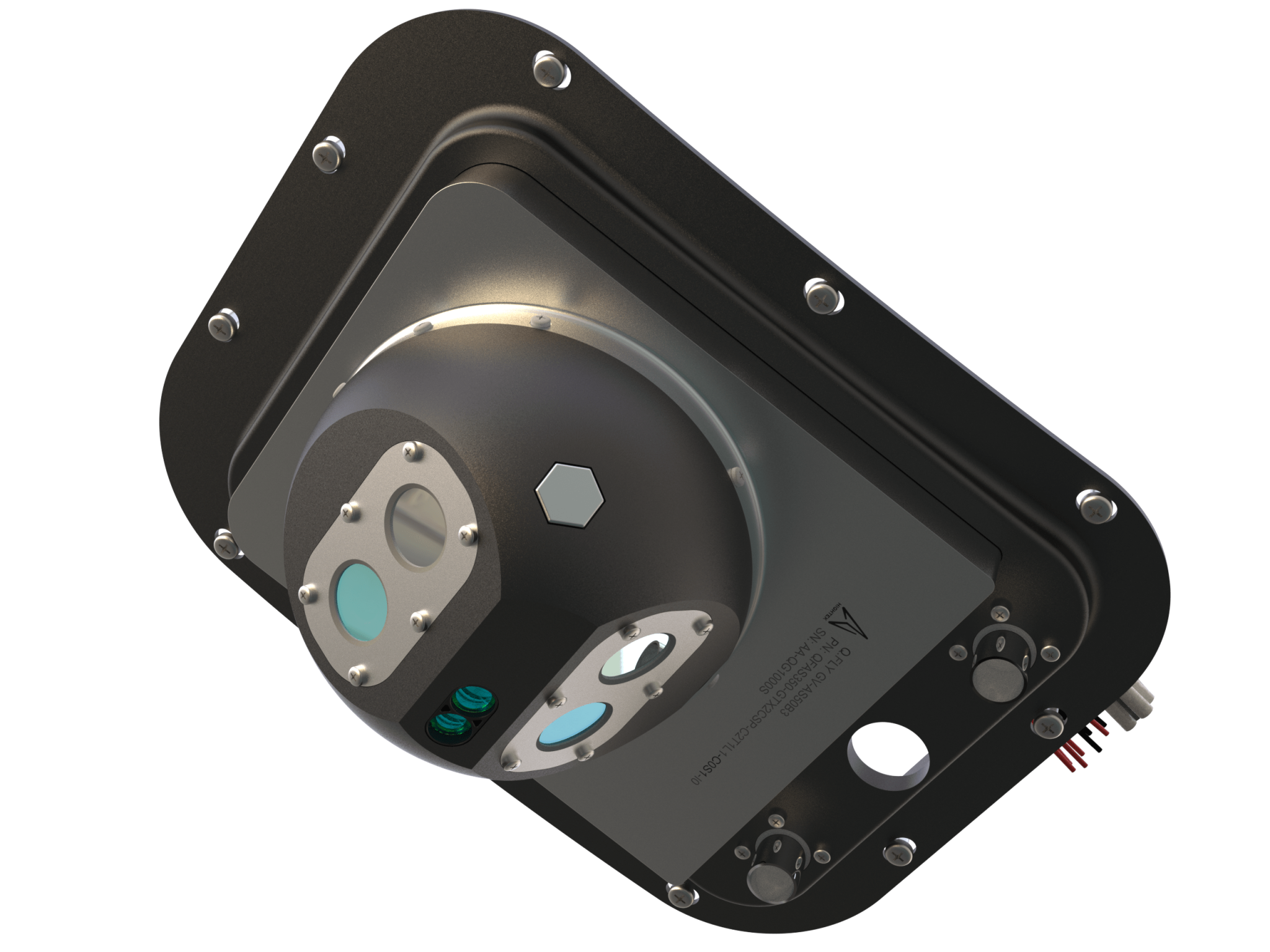
The lack of technologies able to provide crucial information in a timely manner can contribute to the devastation caused by natural disasters.
Hightek develops data-driven disaster management systems based on aerial and satellite data, allowing organizations to make informed decisions and respond rapidly in emergency situations

Our systems are engineered for seamless integration on any aircraft. By merging multispectral imagery with Artificial Intelligence, we deliver comprehensive analysis, real-time data mapping, and advanced decision-making tools. These capabilities empower pilots, control rooms, and field operators with actionable insights for enhanced emergency response and disaster management.


How is
Q.System
technology
applied?

To date, Q.System can boast over than
500 ACTIVE USERS across Europe and more than 2000 HOURS OF FLIGHT for firefighting, aerial monitoring, ISR and search and rescue activities.

HIGHTEK SRL
Via Giliberto Petti 21, 84083
Castel San Giorgio (SA)
Tel: +39 081 19023552. E-Mail: info@hightek.it