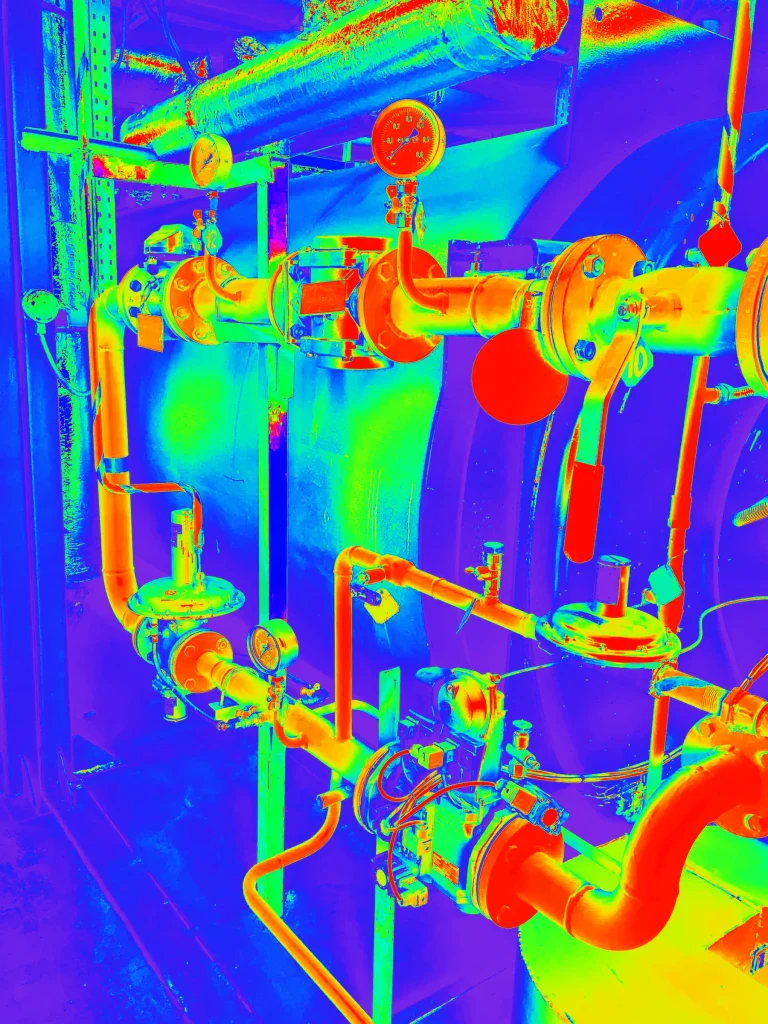
The aerial inspection and mapping can be time-consuming and expensive activities. They require long flight campaigns for data acquisition and intense processing and diagnostic activity.
Automating these processes as much as possible allows you to considerably reduce time and costs, in favour of periodic and continuous inspection of critical infrastructures, such as power lines, bridges and gas pipelines.
The DL-GV1 and Q.FLY camera are avionics for helicopters, aircrafts and drones equipped with very high-resolution multi-spectral sensors.
These cameras use Machine Learning and Artificial Intelligence algorithms to carry out image diagnostics and detect any defects or anomalies in a completely automated way.
The high degree of automation allows you the identification of potential anomalies during flight campaigns and the communication of information directly to technicians and remote-control centres in real time.
This innovative solution offers several advantages for the aerial inspection activities, including:


automated diagnostic imaging allows us to detect defects and anomalies with higher accuracy than traditional methods.

automation allows us to reduce inspection execution times and improve the efficiency of activities, reducing costs and risks.

the acquired data is automatically digitized and sent to control centres, facilitating the sharing and analysis of information.

the data is geolocalized, allowing rapid confinement of the problem and timely intervention

Remote inspection enables us to reduce the risk of accidents for operators.
IMPLEMENTATIONS
Our cameras can be used for a wide range of aerial inspection and mapping implementations, including:

HIGHTEK SRL
Via Giliberto Petti 21, 84083
Castel San Giorgio (SA)
Tel: +39 081 19023552. E-Mail: info@hightek.it