Beyond Boundaries:
Tech-Driven Risk Prevention

With Q.Fly you can prevent the rapid spread of forest fire

Q.FLY IS AN INNOVATIVE AERIAL VISION SYSTEM
developed to assist pilots during aerial forest firefighting, SAR, ISR and disaster management activities, providing real-time video streaming, multispectral images, water drop positions and GNSS localization of the fire perimeter to control rooms, DOS, Fire Department, and Civil Protection.

Why use
Q.Fly?

To transmit aerial images and videos

to both the control room and field personnel, enabling a preliminary assessment of the emergency and real-time remote monitoring of its evolution

To carry out aerial forest firefighting activities

with precision, targeting key points to prevent the rapid spread of the fire and build thermal mapping of the soil to detect hot spots

To enhance flight safety during aerial forest firefighting activities,

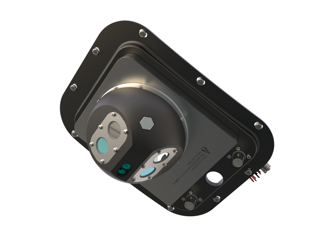
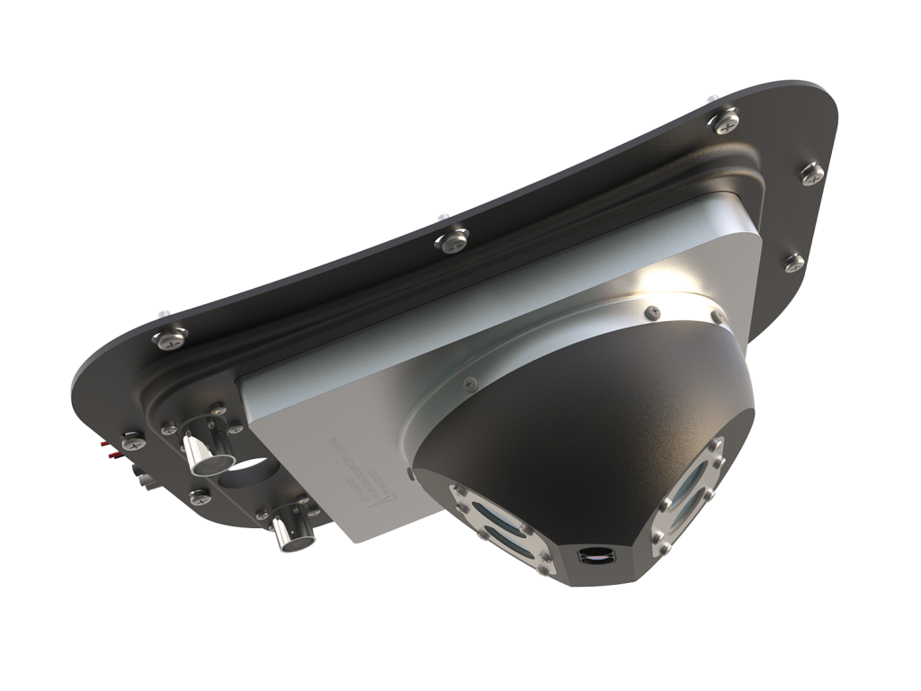
by locating the active fire front even in challenging conditions of poor visibility due to tree cover and intense smoke

To expedite clean-up operations,

by measuring the temperature of the fire-affected surface, aiding in the detection of residual hot spots not visible to the naked eye

To obtain real-time digital mapping of the fire perimeter,

monitor its expansion over time, and predict its evolution using advanced simulation software tools

Q.FLY IS DESIGNED AND EASA CERTIFIED TO BE EASY TO INSTALL ON ANY TYPE OF AIRCRAFT AND DRONE

What are the advantages?

Accurate water drops and reduced water consumption

Reduced helicopter flight hours and lower operational expenses

Ability to detect fires not visible to naked eyes

Enhanced Search and Rescue and ISR flight operations

Designed to be easy to install on any type of aircraft and drone

Fully automated, ideal for Single Pilot operations

Who uses
Q.Fly?

Q.FLY PAYLOADS ARE CUTTING-EDGE VISION SYSTEMS, CONTINUOUSLY EVOLVING TO ADAPT TO INNOVATIVE TECHNOLOGIES AND CATER TO DIVERSE CUSTOMER NEEDS

Private Aircraft or Drone companies

These systems are designed for Aeronautical companies operating in the sectors of forest firefighting, search and rescue, air ambulance, inspections and aerial work, Agritech, shipbuilding, maintenance and inspection of energy infrastructures, gas pipelines, electricity distribution networks and railways

Government Agencies

The main users are Civil Protection, Fire Department and Government companies that operate in the Prevention and Management of Natural Disasters such as: forest fires, floods, landslides, earthquakes, land control and mapping

Security and Defence

Q.Fly technology is used by companies operating in the Security and Defence sector for border monitoring, ISR, immigration control and fight against traffickers

TO LEARN MORE

Discover other products
Q.Hydra, Q.Scan,
Q.Web, DL-GV1 Cam