Forest fire fighting
and Emergency Management

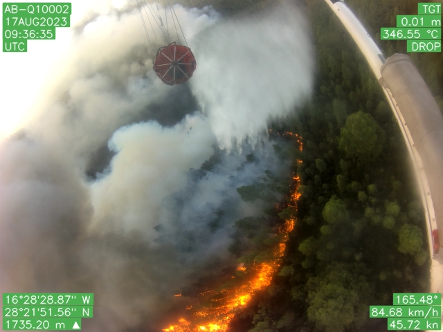
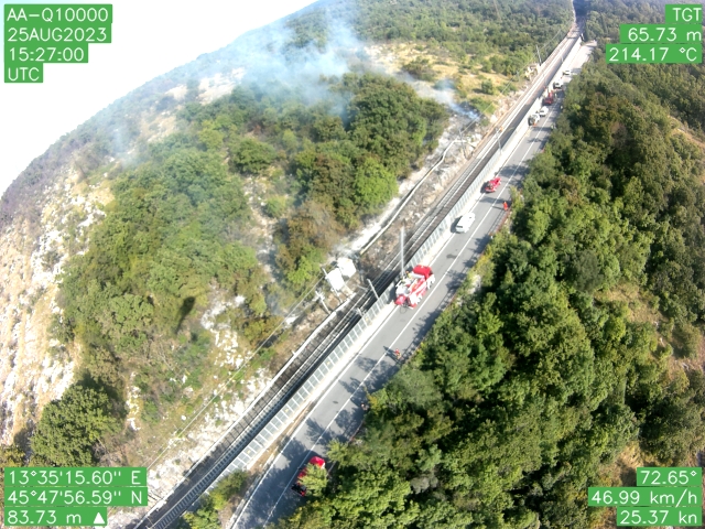
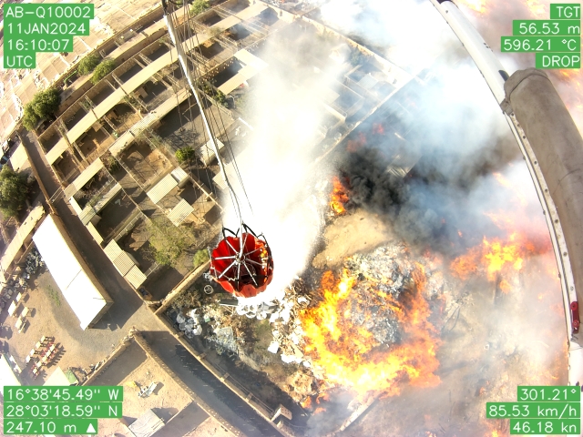
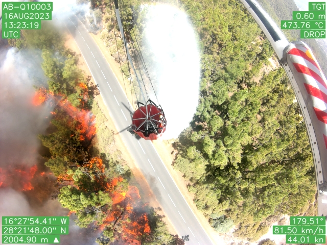
In recent years, the planet has seen a significant increase in the frequency and intensity of forest fires. These extreme natural events have caused devastating consequences, with losses of human lives, destruction of natural habitats, damage to infrastructure and the emission of harmful substances that impact air quality. In order to face them, we need advanced technologies capable of guaranteeing timely and effective management of the emergency.

The Q.FLY and Q.WEB technologies are the cutting-edge solutions in this critical context


Q.FLY
Firefighting camera for helicopter

The Q.FLY sensor is an advanced EO/IR camera system designed for firefighting and reconnaissance operations. Mounted on helicopters, drones, or aircrafts, it provides real-time data to pilots and Decision Support Systems (DSS) for better operational management of emergencies. During a fire, one of the main challenges for a pilot is being able to accurately locate the actual position of the flame front in case of intense smoke, tree cover or latent flame. The Q.FLY solves this problem thanks to an EO/IR image processing system based on Artificial Intelligence. This system is able to automatically identify and geolocate the fire during aerial reconnaissance, mapping and active fighting operations. By integrating assisted navigation algorithms, the Q.FLY allows you to perform precise launches, improve the effectiveness of launches and flight safety. With a dual-camera system, Q.FLY ensures a 360° view under the helicopter, reducing the risk of collisions with objects not visible from the helicopter’s rear-view mirrors. The Q.FLY sensor differs from any other firefighting cameras for its ability to transmit real-time data to operations centres and Decision Support System (DSS). This distinctive capacity improves the timeliness and coordination of responses during fire and emergency operations.

FUNCTIONS

  • Automatic mapping of the fire fronts, floods, oil spills and landslides
  • Automatic geolocation of photos and videos of the fire
  • Live H264/H265 video streaming from helicopter and drone
  • Geolocation of the release points of fire-fighting liquids
  • Creation of thermographic maps for remediation optimization
  • GNSS satellite tracking for air and land vehicles
  • Automatic detection and mapping of buildings damaged by natural disasters
  • Assisted navigation for optimization of firefighting liquid release
  • Camera-based support system for Bambi Bucket filling
  • Real-time air data transmission with 5G/LTE network and IRIDIUM satellite to remote servers

Q.WEB: Computerized Decisions in Real Time

Q.WEB is a Decision Support Syste designed to be used from any other devices and from any location.

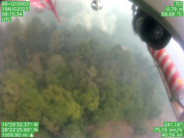
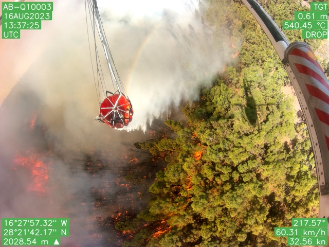
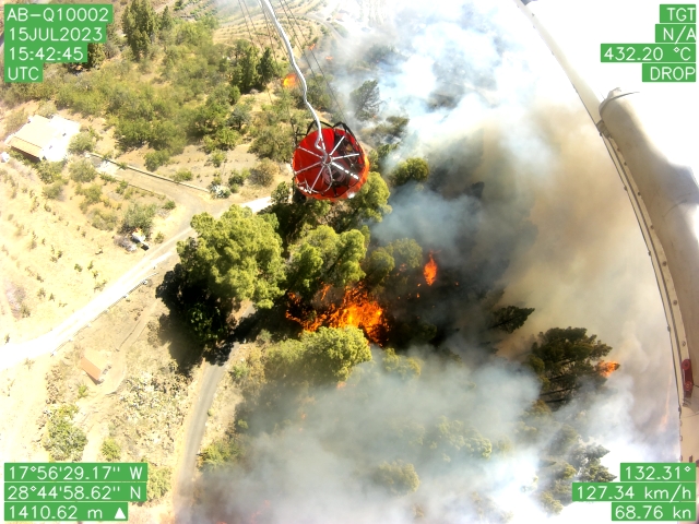
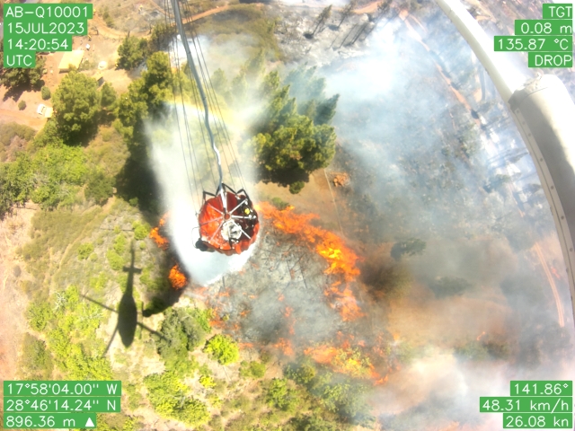
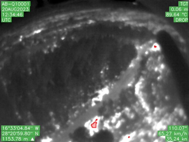
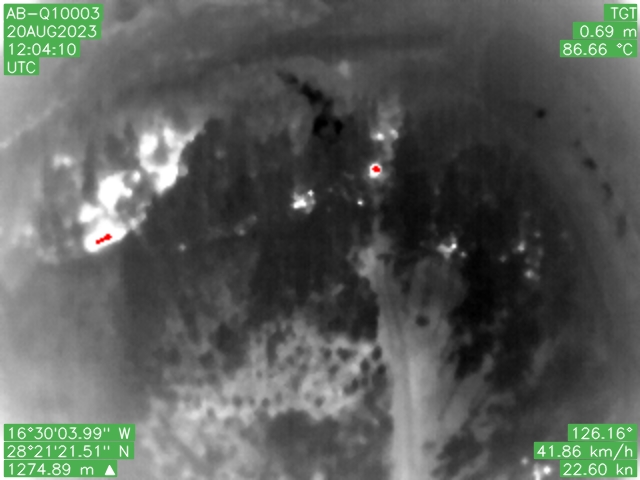
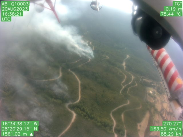
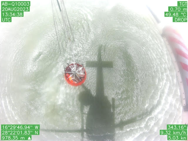
Q.WEB allows you to monitor data from aerial reconnaissance systems in real time, including satellite tracking of air and ground vehicles, photos, videos, live streaming, position of the fire front and meteorological data.

This information, already developed and digitized, allows you to optimize the coordination and response operations to emergencies.

Q.WEB was developed in close collaboration with the Civil Defence and Fire Department, and involving the pilots employed in aerial operations. This synergy ensures that the technology is targeted and highly effective in providing crucial and easily actionable information during emergency phases.